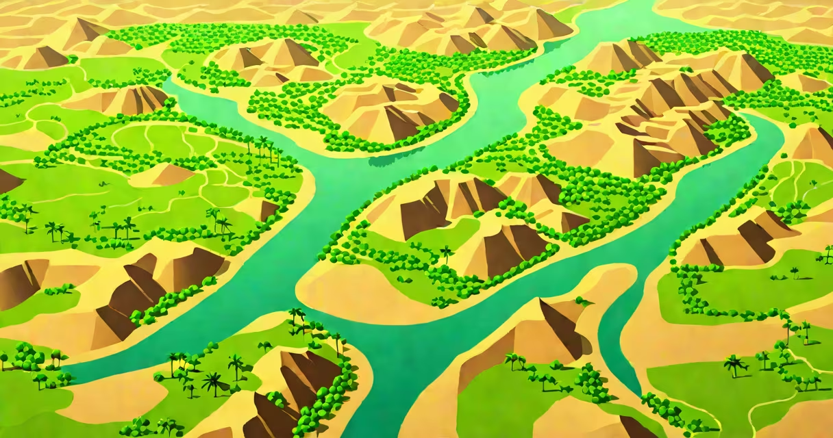
The Nile River Valley is the narrow, fertile strip of land along the Nile River in northeastern Africa, formed by centuries of silt deposition from seasonal flooding. This region supported ancient Egyptian civilization and remains a important agricultural and cultural zone today.
The valley stretches over 6,600 kilometers from central Africa to the Mediterranean Sea, but the core area associated with human settlement lies between Aswan in southern Egypt and Cairo in the north. Its formation results from the Nile's annual inundation, which deposited nutrient-rich silt across floodplains, enabling agriculture in an otherwise arid environment.
Archaeological evidence shows continuous habitation in the Nile River Valley since at least 6000 BCE. By 3100 BCE, the unification of Upper and Lower Egypt occurred along this corridor, leading to the rise of monumental architecture such as the pyramids at Giza and temples at Karnak and Luxor. The valley's stability allowed complex social organization, writing systems, and long-term state development.
The Nile River Valley functions through a predictable hydrological cycle driven by rainfall in East African highlands. The Blue Nile, originating in Ethiopia, contributes about 85% of the flow during the summer months, while the White Nile, from Central Africa, provides steady base flow.
Historically, the annual flood peaked between June and September, raising water levels by up to 7 meters in parts of Egypt. This flooding was essential for farming: it deposited silt that replenished soil fertility and created ideal conditions for growing wheat, barley, and flax. Ancient Egyptians developed sophisticated irrigation systems, including basins and canals, to manage water distribution.
Today, the Aswan High Dam, completed in 1970, regulates the flow and eliminates seasonal flooding. While this prevents crop damage and enables year-round irrigation, it has reduced silt deposition. Modern farms now rely on chemical fertilizers to maintain yields. The dam also altered sediment transport patterns, contributing to coastal erosion in the Nile Delta.
The Nile River Valley consists of layered sediments accumulated over millennia. The bedrock beneath is primarily Nubian Sandstone, overlain by alluvial deposits-fine sand, silt, and clay washed down from the Ethiopian Highlands and Central African Basin.
Soil analysis from archaeological sites like Abydos and Saqqara reveals high concentrations of phosphorus and nitrogen in the topsoil, indicating sustained fertility. These nutrients come from decomposed organic material carried by floodwaters and trapped in floodplain depressions.
A 2018 study published in *Quaternary Science Reviews* analyzed sediment cores from the Nile Valley and found that silt deposition rates declined by 40% after the construction of the Aswan High Dam. This shift correlates with increased soil salinity in downstream farmlands due to reduced flushing of salts.
The Nile River Valley divides into distinct ecological and cultural zones based on geography and climate:
| Zone | Location | Key Features | Historical Use |
|---|---|---|---|
| Upper Nile Valley | South of Aswan, Sudan to Egypt border | Steep banks, rocky terrain, seasonal flooding | Settlements at Kerma, Napata; early centers of Nubian culture |
| Lower Nile Valley | From Aswan to Cairo | Fertile plains, dense population, irrigation networks | Heartland of Old, Middle, and New Kingdoms; capital cities at Memphis and Alexandria |
| Nile Delta | North of Cairo, into Mediterranean | Network of distributaries, marshes, high groundwater tables | Major grain production; site of ancient ports like Canopus and Tanis |
Each zone adapted differently to flood cycles. The Upper Nile Valley relied on floodplain agriculture with shorter growing seasons. The Lower Valley developed permanent canals and reservoirs. The Delta became a wetland-intensive system, supporting fish farming and reed cultivation.
Over 95% of Egypt's population lives within 10 kilometers of the Nile River Valley. Urban centers like Cairo, Luxor, and Aswan depend on the river for freshwater, agriculture, and transportation. The Nile supplies about 90% of Egypt's freshwater needs, with 85% used for irrigation.
Modern agriculture in the valley focuses on high-value crops: cotton, sugarcane, vegetables, and fruits. The government's National Agricultural Strategy (2021) emphasizes water efficiency, promoting drip irrigation and drought-resistant seeds. In 2023, the Ministry of Agriculture reported that 68% of cultivated land in the valley uses pressurized irrigation systems.
Archaeological research continues in the valley. Excavations at Saqqara uncovered over 50 tombs in 2022, including a cache of mummified crocodiles and ibises. The Egyptian Ministry of Tourism and Antiquities notes that over 12 million tourists visited Nile Valley sites annually, generating $1.8 billion in revenue in 2023.
Many assume the Nile River Valley is a single, continuous green belt. In reality, it is fragmented by desert and urban expansion. Satellite imagery shows that only 10% of the valley's original width remains under cultivation due to infrastructure development and population growth.
Another misconception is that the Nile flows north because of gravity pulling water toward the sea. While gravity plays a role, the river's course is shaped by tectonic activity. The East African Rift System created a basin that funneled water southward into the Nile's headwaters. The river's northward flow is a result of elevation gradients, not directionality of force.
A lesser-known fact: the Nile River Valley contains over 200 known archaeological sites with intact stratigraphy. According to the UNESCO World Heritage Centre, 11 of these-such as the Valley of the Kings and the Temple of Philae-are inscribed on the World Heritage List. However, only 37% of these sites have ongoing conservation funding, according to a 2023 report by the International Council on Monuments and Sites (ICOMOS).
Located on the west bank of the Nile near Luxor, the Valley of the Kings is a rock-cut necropolis used by pharaohs from the 18th Dynasty (c. 1550-1292 BCE). The site lies within the Nile River Valley but is separated from the river by a 1-kilometer-wide desert ridge.
Its location was chosen for symbolic reasons: the valley faces west, the direction of the sun's setting, associated with death and rebirth in ancient Egyptian belief. The tombs were carved into limestone bedrock, which was stable and resistant to erosion. Each tomb required 3-5 years of labor and involved over 200 workers.
Archaeologists discovered that the valley's drainage system was engineered to prevent water infiltration. Channels were cut into the floor and walls to divert seepage. In 2019, a team from the University of Oxford used ground-penetrating radar to map hidden chambers and tunnels, revealing that some tombs were expanded after initial completion.
In 2017, I stood at the entrance of Tomb KV5, the largest royal tomb in the valley. The air was cool and still. Carvings of gods and pharaohs lined the passage. My guide pointed out a small hole in the wall-part of a ventilation shaft that had remained sealed for over 3,000 years. When we opened it, a faint draft stirred dust. That moment confirmed how deeply the Nile River Valley shaped not just life, but memory.